In June, some of Pachama’s team members visited the Corredores Pau Brasil carbon project. Our goal was to QA six separate field plots, trial a new forest inventory protocol that introduces additional rigor, and check the quality of recently planted areas.
Establishing an ecological corridor in Brazil’s Atlantic forest
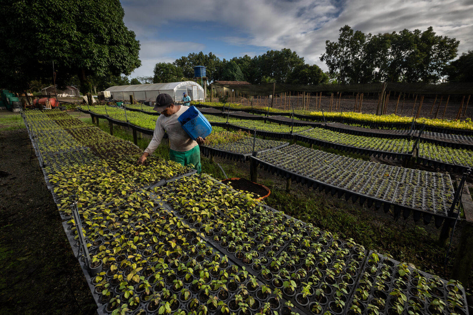
Corredores Pau Brasil is an afforestation, reforestation, and revegetation (ARR) carbon project in southern Bahia, Brazil.
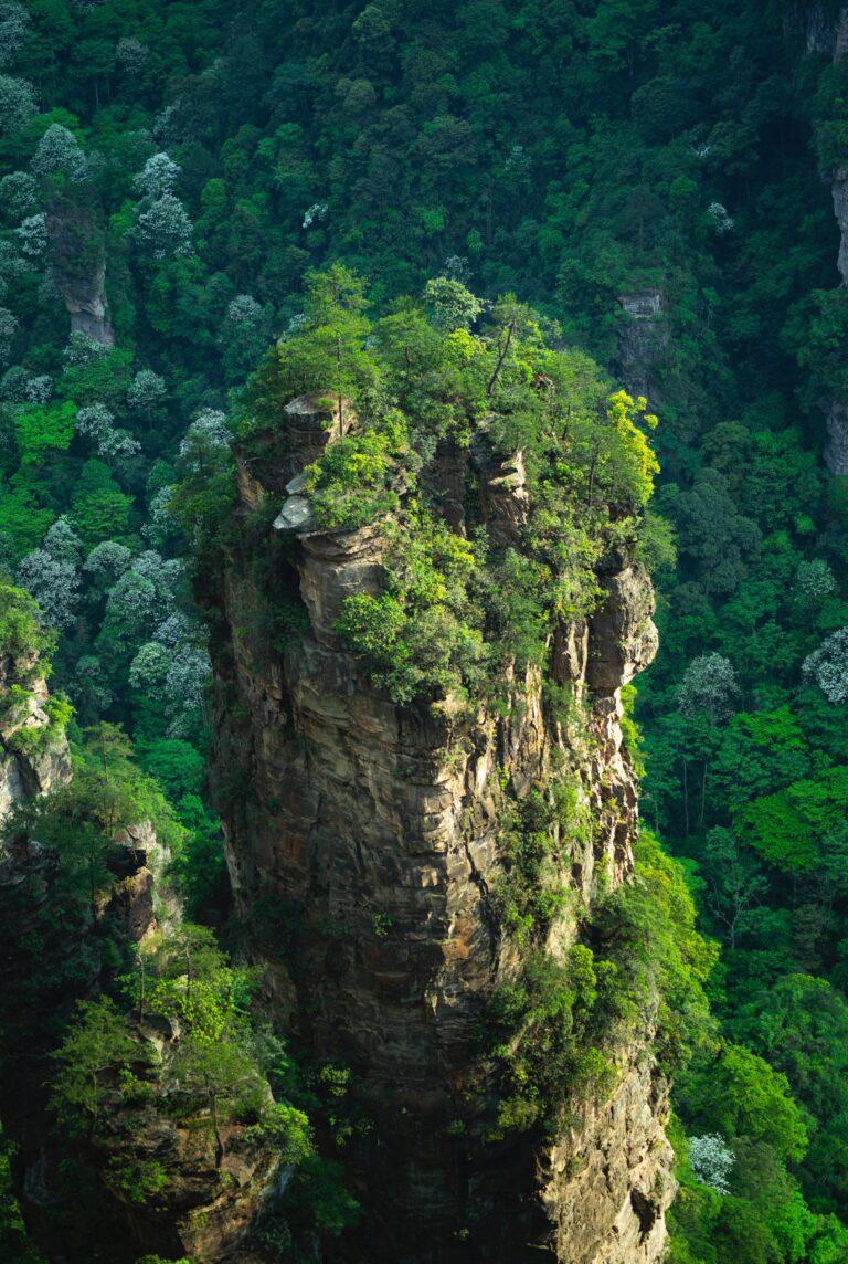
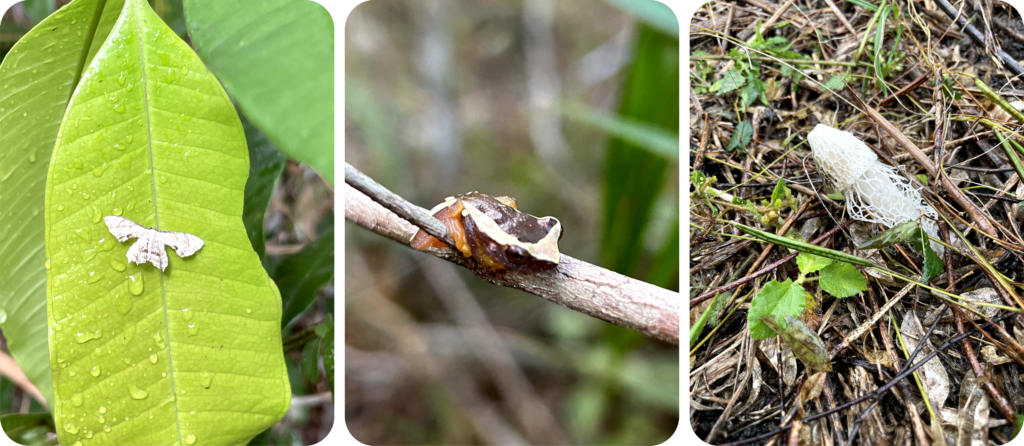
Mata Atlântica, or the Atlantic Forest, is a vital biome that runs along Brazil’s eastern coast. This crucial ecosystem helps to purify water, conserve soil, and regulate the climate. It’s also a biodiversity hotspot, home to half of the region’s endemic tree species and nearly all amphibians, mammals, and birds that are unique to this area.
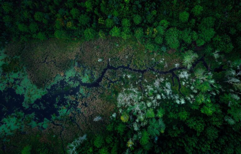
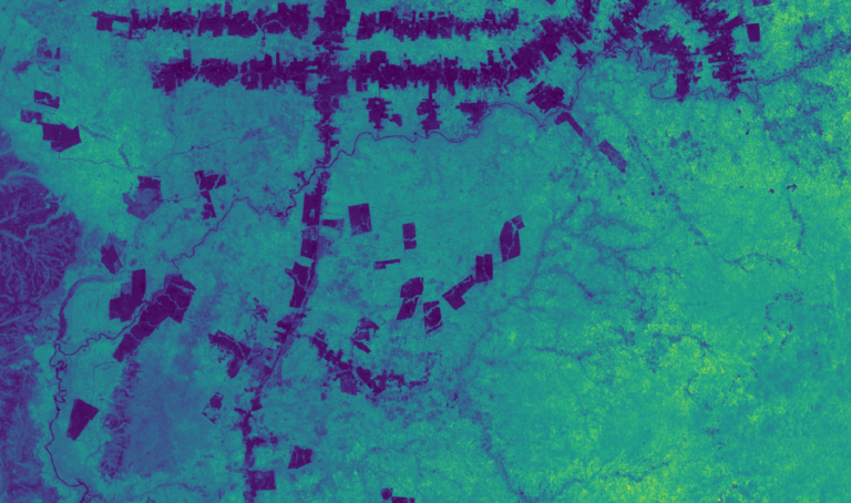
Amidst rapid deforestation for agriculture and logging, the once lush and contiguous Mata Atlântica in this region has been reduced to isolated fragments, causing significant harm to local wildlife and communities that depend on these forests for their livelihoods. This fragmentation also negatively impacts the climate on a larger scale.
To address these critical issues, this Pachama Originals project is dedicated to restoring and reconnecting these disjointed forest remnants. Mercado Libre is Pachama’s first key investor and partner in the project. The primary goal is to establish an ecological corridor between the Monte Pascoal National Park and the Pau Brasil National Park in Bahía State, promoting genetic diversity and enhancing overall biodiversity in the area.
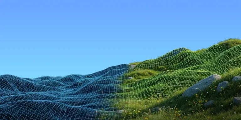
Leveraging the power of satellite data and machine learning, the project strategically identifies optimal planting locations and effectively tracks the growth of newly planted vegetation to ensure successful restoration efforts.
Site visit mission
With our restoration efforts in full swing, we visited Corredores Pau Brasil with a few goals:
→ We were tasked with conducting a quality check on the field plot data, which will help us estimate pre-existing biomass prior to the project’s start date.
→ We also wanted to test out a new forestry inventory protocol which was designed to be a better fit for tropical forests.
→ Simultaneously, we checked on the quality of recently planted areas.
→ And, as an exciting bonus, we set out to locate specific trees, collecting their GPS coordinates to assist our scientists in correlating these positions with LiDAR imagery, thereby enhancing their biomass modeling research and development (R&D).
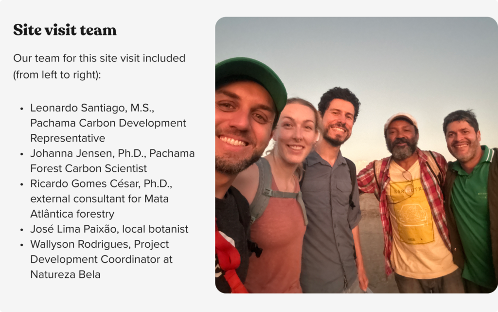
Along for the ride from Pachama was Leonardo Santiago M.S., the Carbon Development Representative for the project, and Johanna Jensen Ph.D., a Forest Carbon Scientist from our Applied Science team. It was Jo’s first time in Brazil, and she fell in love with exploring the forest (or what’s left of it!). And let’s not forget about the awesome folks who completed our team: Wallyson Rodrigues, the Project Development Coordinator from our Implementation Partner, Natureza Bela; Jose Lima Paixão, our incredible local botanist; and Ricardo Gomes Cesar Ph.D., an external consultant specializing in Mata Atlântica forestry.
On the first morning, we ensured we had all the essential tools ready to kick-start our work. We stocked up on:
- metal bars for monumenting plot centers
- measuring tapes to delineate plot boundaries
- red spray paint to mark the spots where we measured tree stem diameter
We also brought:
- diameter tapes to measure tree diameter at breast height (DBH)
- a hypsometer to measure tree height
- a trusty handheld GPS to keep us oriented
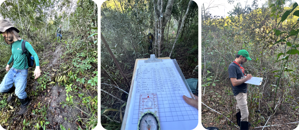
With our gear in place, we were all set to tackle our goals. Next, we traveled from Porto Seguro to Barrolândia, Belmonte, the small village we’d be staying in for the week. We managed to find food and lodging just minutes away from project planting sites. That afternoon, we set to work, randomly sampling the six plots to be remeasured. Selecting plots in this way brings a higher degree of scientific rigor to our work — but it often leads us to difficult-to-access places (all part of the fun!).
The results
Over the following two days, we dedicated ourselves to re-measuring the forest plots and closely observing the recently restored areas along the way. The results were very promising. Most of the restored areas showed remarkable success, with seedlings experiencing impressive growth, sometimes tripling or even quadrupling in size within a mere seven months.
On the final day of our expedition, we put the new forest inventory protocol to the test, and it proved to be far more efficient. We were able to capture all the necessary attributes of the tropical forest without compromising the integrity of the data. We also took notes on how to make our field inventories more descriptive and user-friendly, minimizing measurement errors and significantly enhancing our field data collection process.
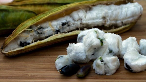
Finding the GPS locations of trees for our research and development endeavors turned out to be quite an adventurous undertaking! These particular trees had to be easily identifiable by both LiDAR technology and the field crew, often standing as the tallest trees in the vicinity. However, locating them meant navigating through denser areas of the forest’s understory. Nevertheless, our determined crew persevered, and the hard work paid off when Lima treated us to some delightful ice cream beans. The beans’ sweet, melting white flesh made the effort truly worthwhile.
What now?
Our work on this trip yielded some important insights. We’ll now be able to work with our implementation partner to continue improving efficiency and accuracy in field plot measurements, optimize fieldwork, and further reduce implementation costs.
Ultimately, the trip was a big success, and we loved spending time out in the field. As a bonus, we spent our Friday afternoon unwinding on the gorgeous Arraial D’Ajuda beach — all in a day’s work!
Ready to learn more?
Get in touch with our team to learn more about investing in a project from the ground up with Pachama Originals.

