Track key project activities
Gather updates directly from the field and validate with geospatial data, providing insight into progress, delays and mitigation plans.

Selecting a project to support is only the beginning. Monitor credit delivery, project progress, project risks and more.
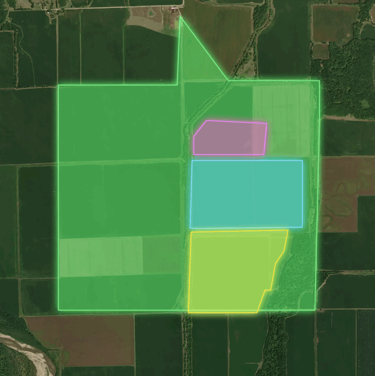
Gather data in consistent formats across projects, making it easy to track progress across a portfolio.
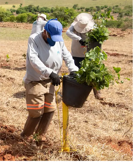
Get updates directly from the people on the ground, keeping you intimately connected to every crucial step.
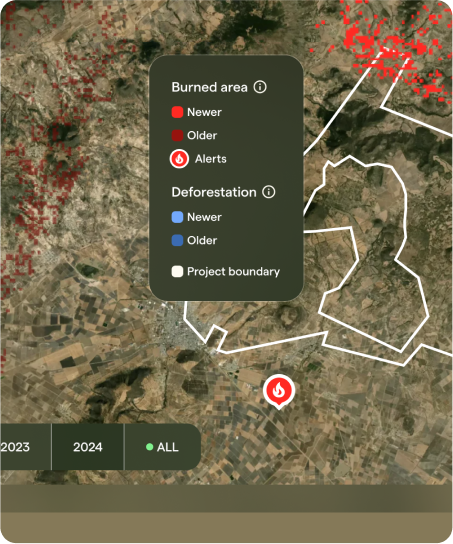
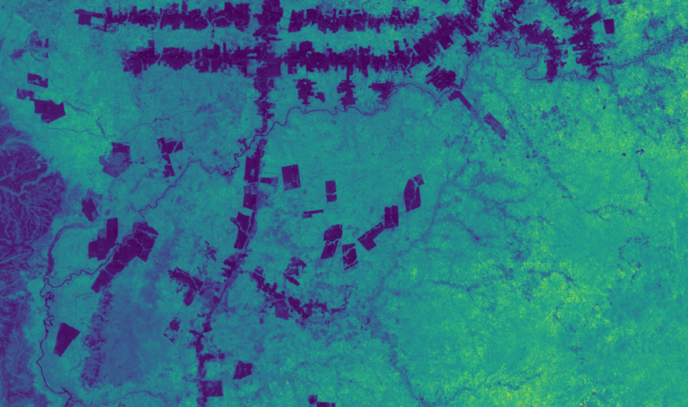
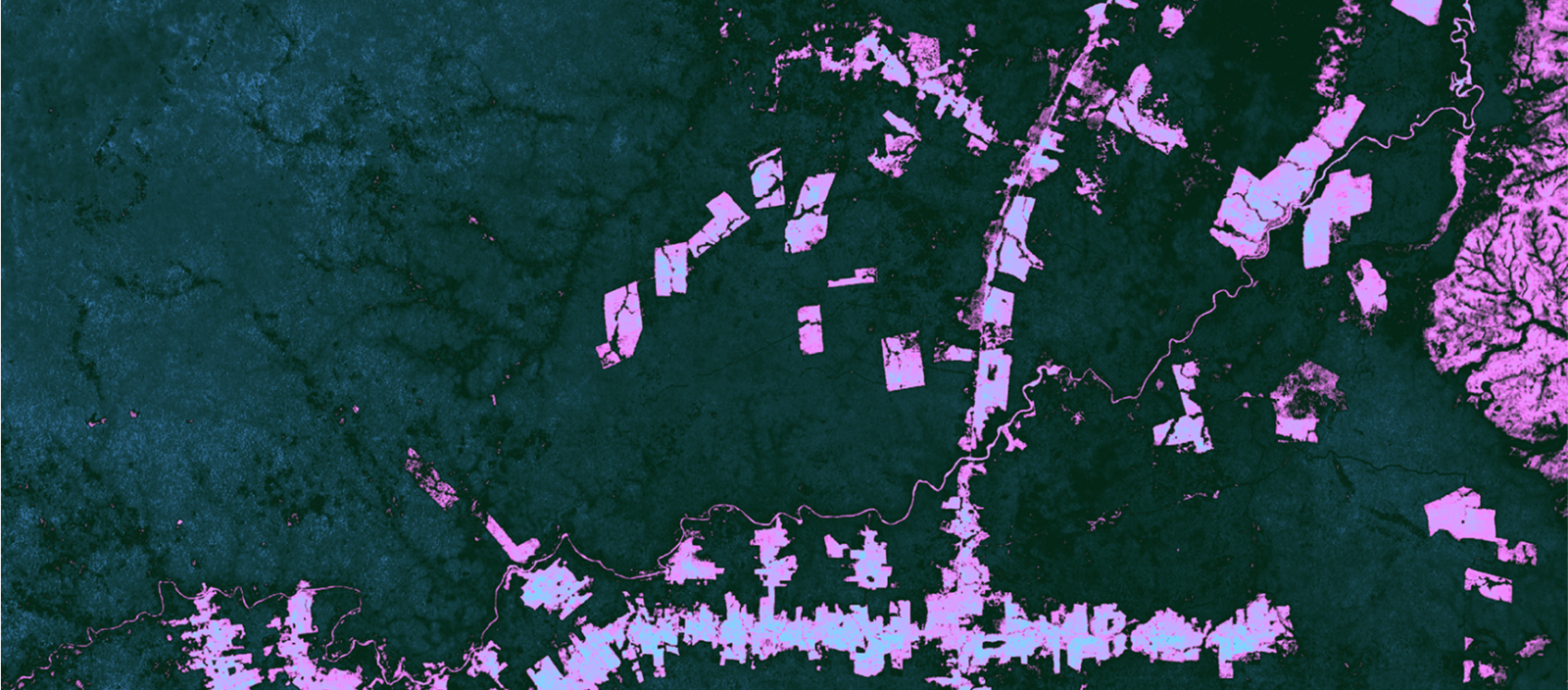
Satellite-based insights reveal risks early, providing the critical insights you can't see from the ground alone.
Gather updates directly from the field and validate with geospatial data, providing insight into progress, delays and mitigation plans.
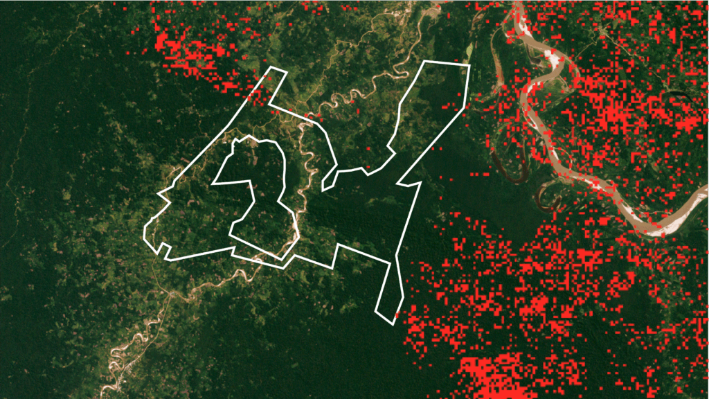
Take early action to mitigate project risks with ongoing forest loss and deforestation monitoring powered by remote sensing data.

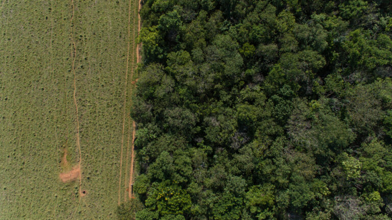
Harness geospatial tools to track growth, ensuring your project is on track to deliver credits as projected.
Talk to Gaia, Pachama's AI
guide for anything