Canopy Height Model
About our tech
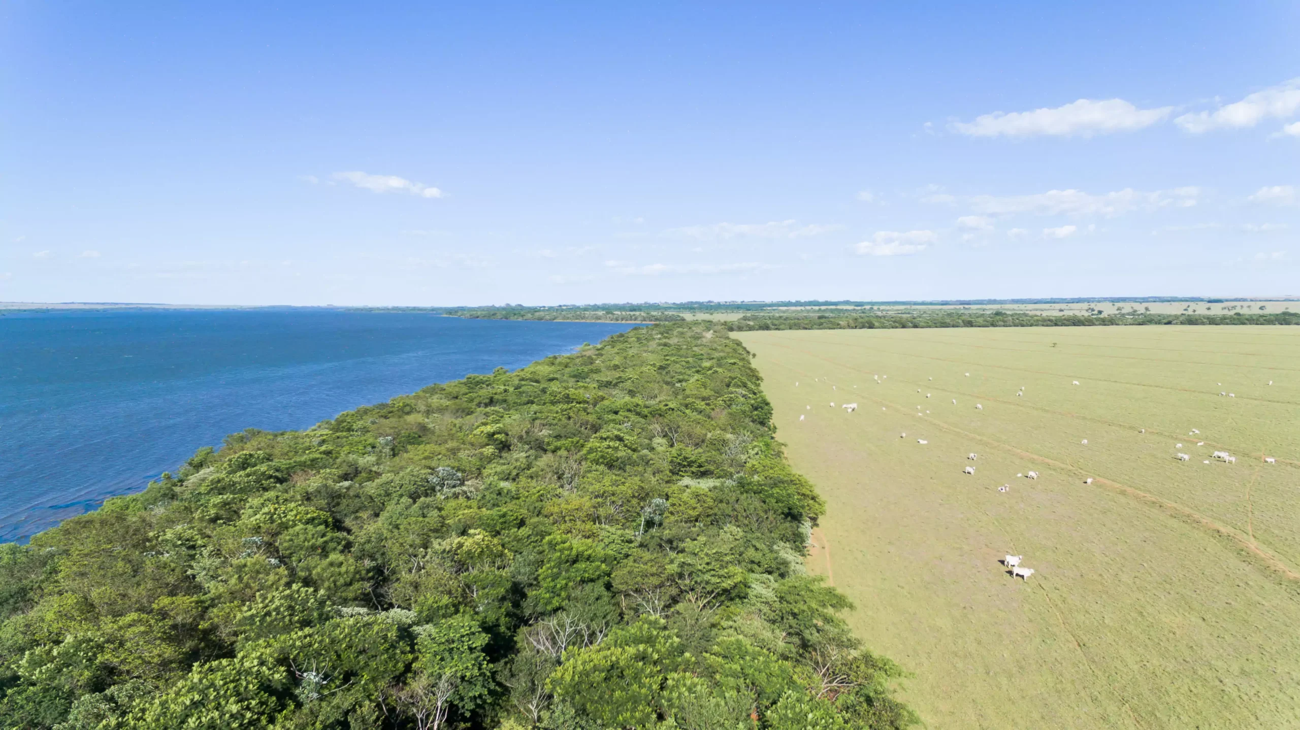
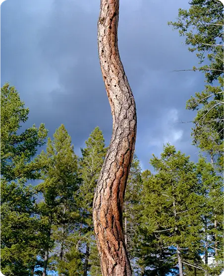
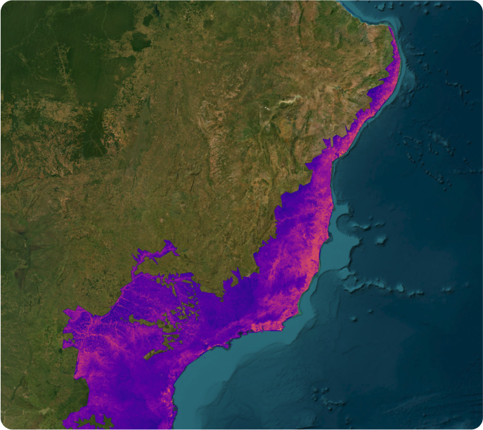
Pachama’s Canopy Height Model (CHM) measures the height of vegetation and how it changes over time, which strongly correlates with the amount of carbon stored in forests. The model uses satellite (optical and radar) and ground truth data, such as airborne lidar. Our industry-leading CHM enables faster and more accurate assessments of projects to determine if the selected area meets registry requirements and has appropriate carbon accounting.