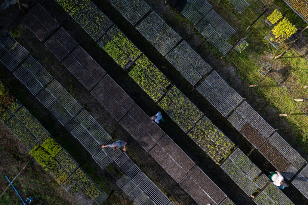
Screen land in seconds
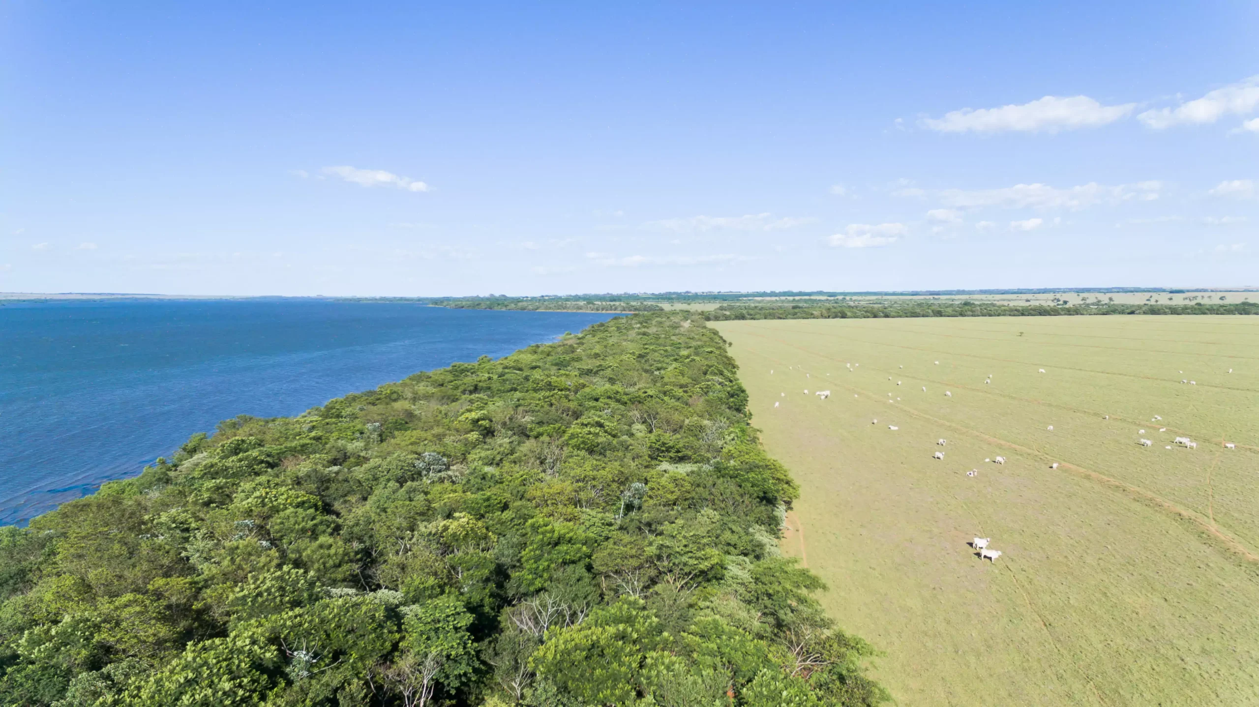
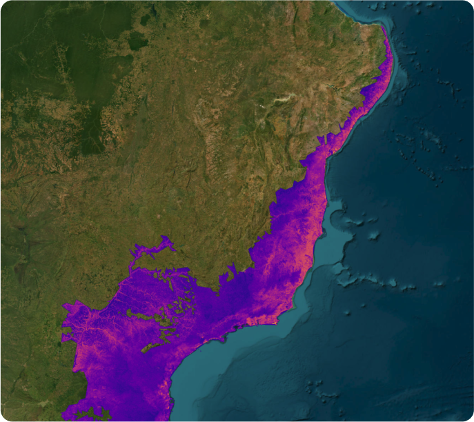
Evaluating land for carbon projects can be slow and costly. Pachama makes it simple. Instantly assess reforestation potential and check key registry requirements in the early stages of project development.
- Save time and cut costs: get results with one click, no consultants or manual analysis.
- Work with standardized data: access the same geospatial layers for every project, ready to explore or download.
- Plan for scale and success: Understand expansion potential and get an early read on registry compliance.