Current progress
Seedlings were planted according to the implementation plan, totaling 70.21ha. The planting activity started on November 2023 and finished on January 2024

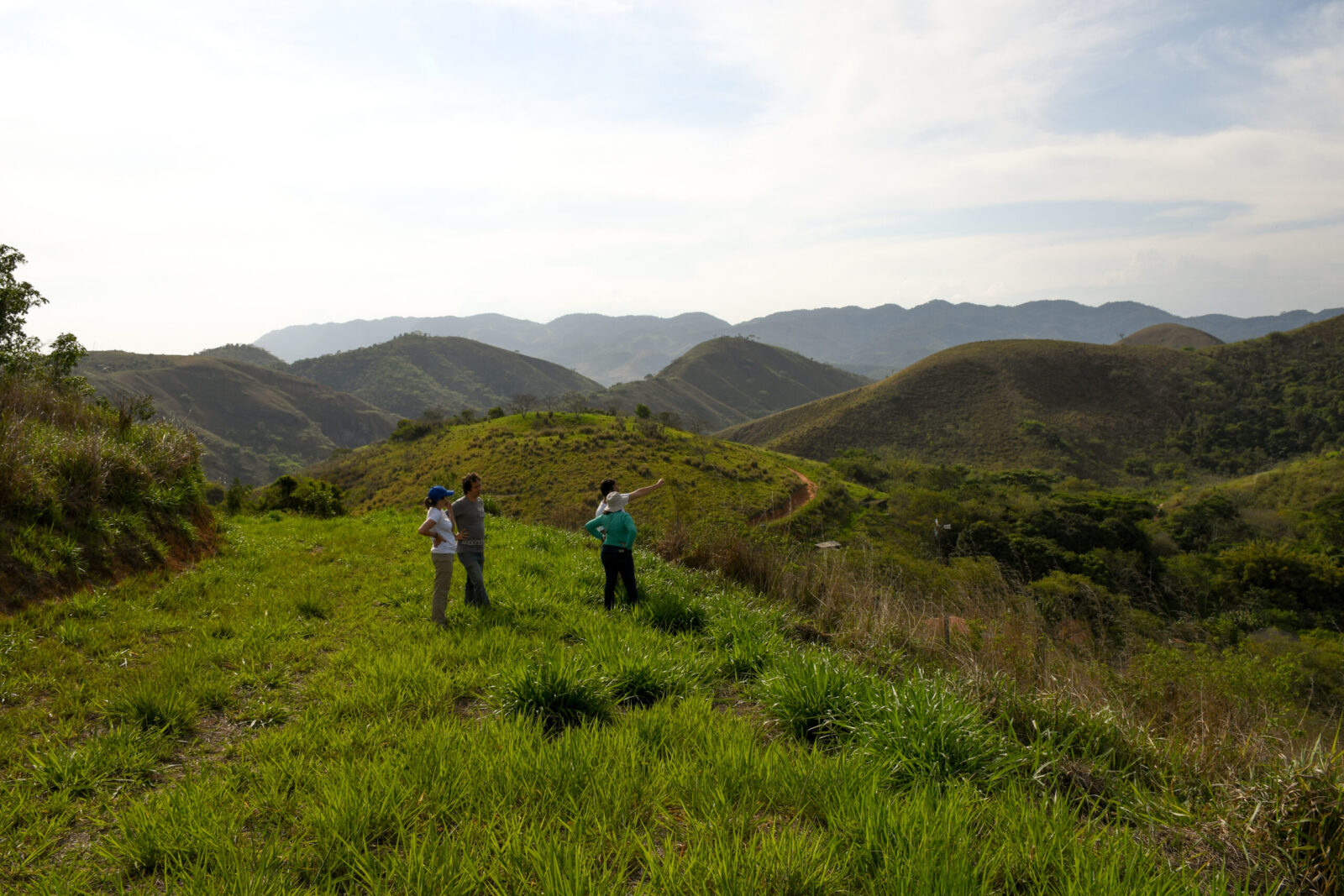
Located within a critical fragmentation point of the Atlantic Forest in Brazil, the Águas da Mata Atlântica project will connect the gap between two of the largest continuous remaining forest areas, between the Tinguá Biological Reserve and Serra da Bocaina National Park.
hectares under restoration
1,355 seedlings planted per hectare
hectare restoration potential
tons of CO2 removed over the projects lifetime
Seedlings were planted according to the implementation plan, totaling 70.21ha. The planting activity started on November 2023 and finished on January 2024
Today nearly 10 million inhabitants in Rio de Janeiro suffer from a lack of clean water. This project is located with a strategic macro territory within the Guandu river hydrographic region, a critical source for nearby cities such as Rio de Janeiro. This project not only restores forests, but by doing so, revitalizes local water springs and will create rain within the microclimate.
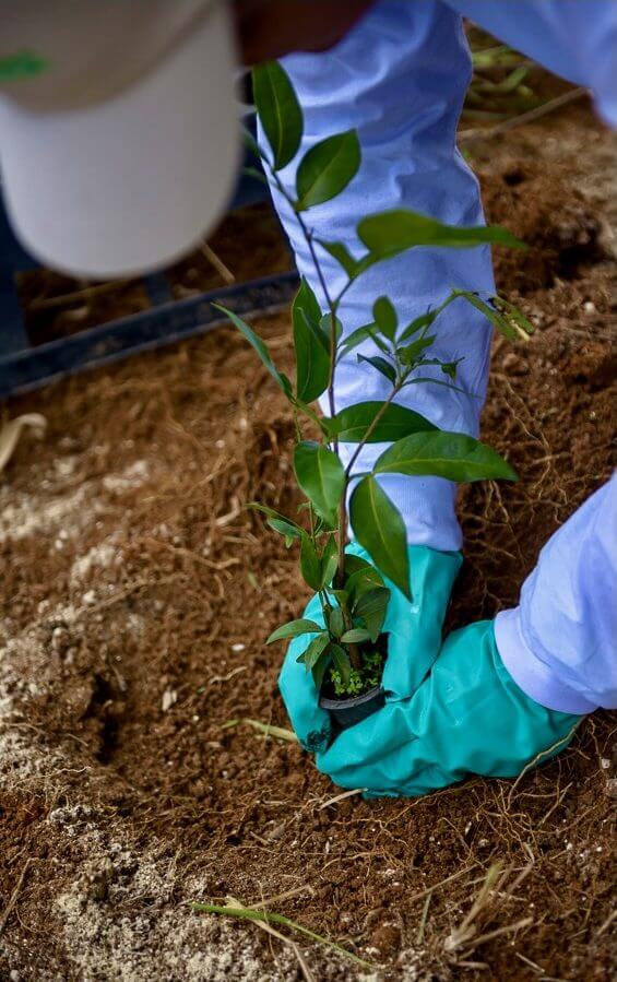
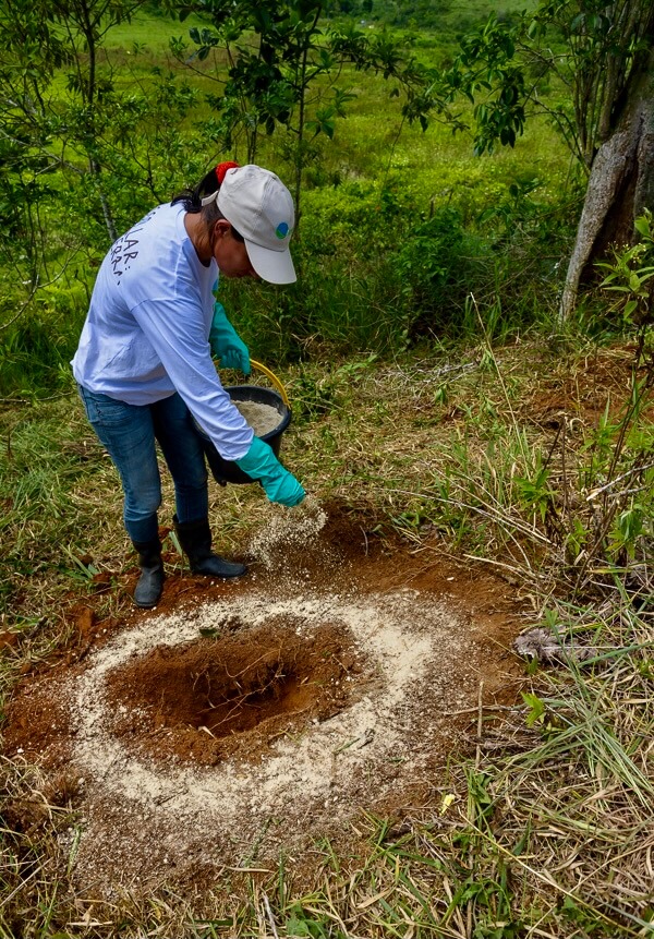
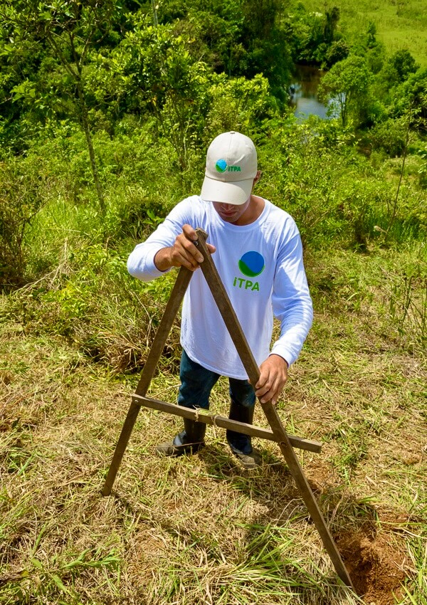
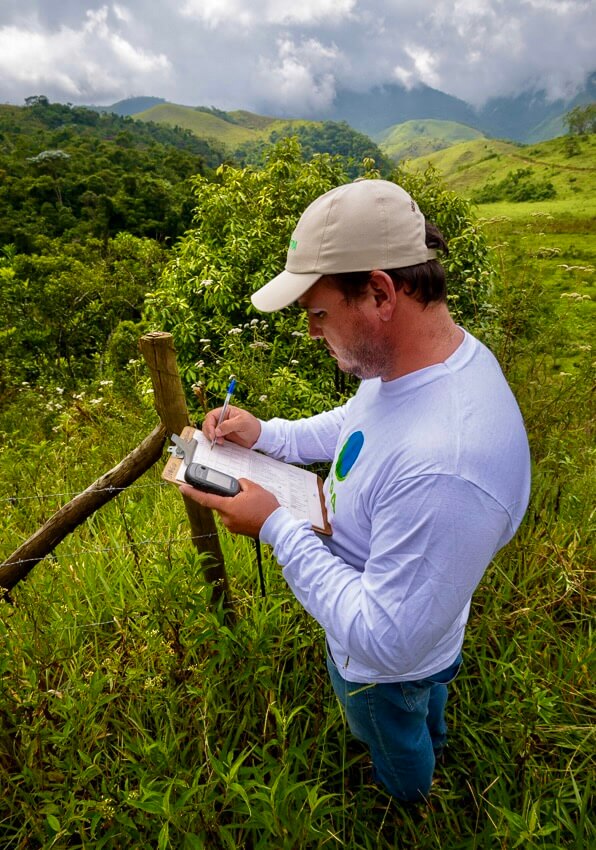
Not only does Águas do Rio have powerful climate benefits, it also protects local wildlife, creates jobs, and restores critical water sources. The project connects disparate patches of forest, creating strategic ecological corridors, enabling animals to move between mature forests. Three nurseries have been created, providing over 20 direct local jobs, alongside 50 jobs for restoration activities at the project site. Activities on site also restore the most notable water basin of the region, providing not only the largest portion of water supply for local Rio do Janeiro residents, but also serving as a renewable power source via hydroelectric dams.
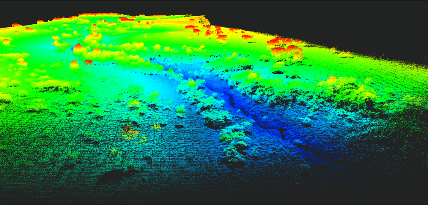
Using technology every step of the way, Pachama helps leading companies invest directly in high-quality reforestation projects with unprecedented transparency and accuracy. Pachama uses Light Detection and Ranging technology (LiDAR) to characterize the structure of the trees before planting, serving as a baseline for future carbon measurement. Pictured below is the LiDAR baseline gathered from the Fazenda Santa Rosa farm. Over the next few decades, remote sensing will be continuously deployed to measure forest growth and estimate the carbon sequestered.
Talk to Gaia, Pachama's AI
guide for anything