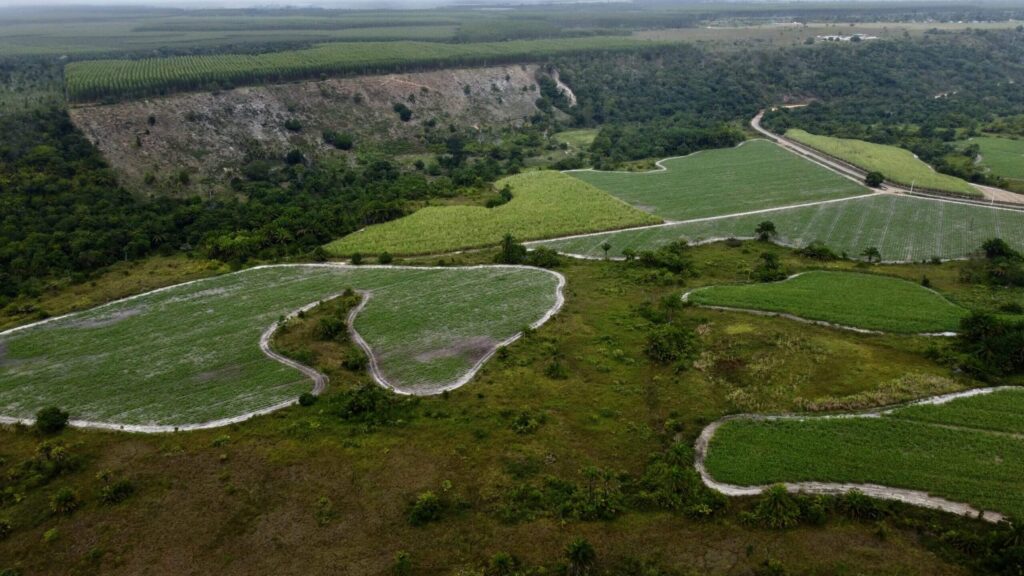

100%
OF TOTAL 2024 IMPLEMENTATION GOAL COMPLETE
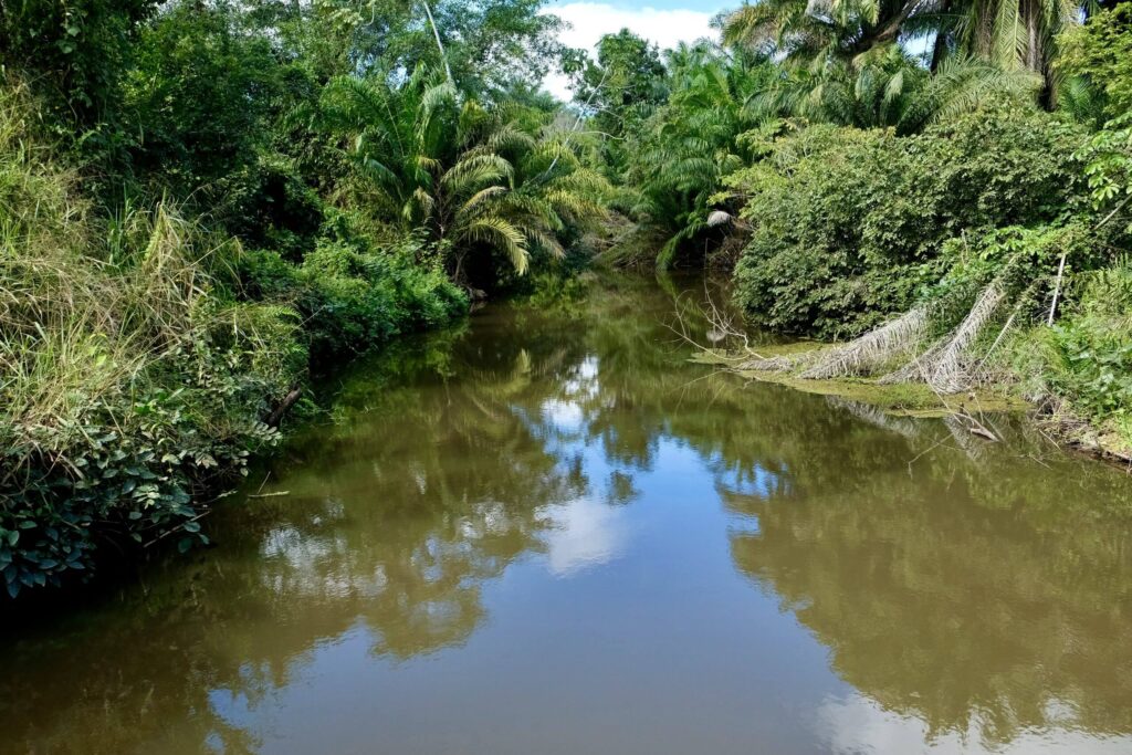
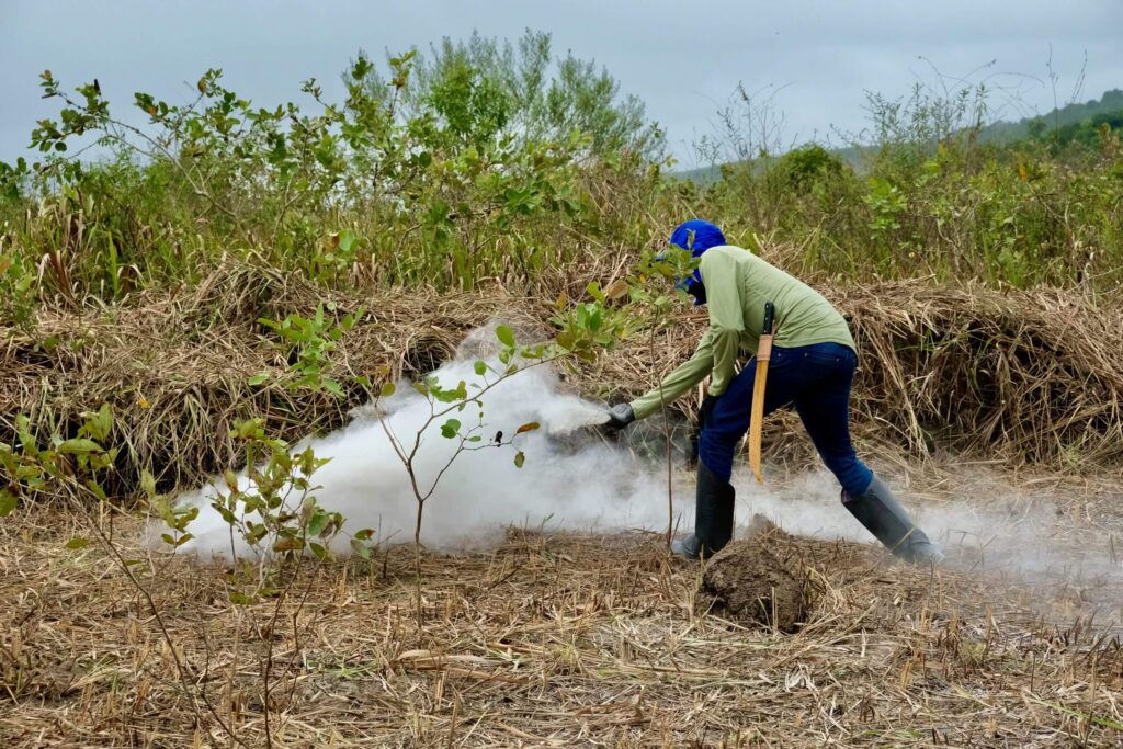
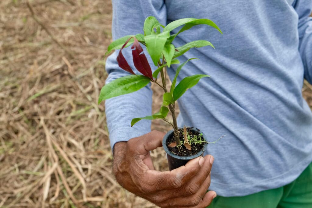
Current progress
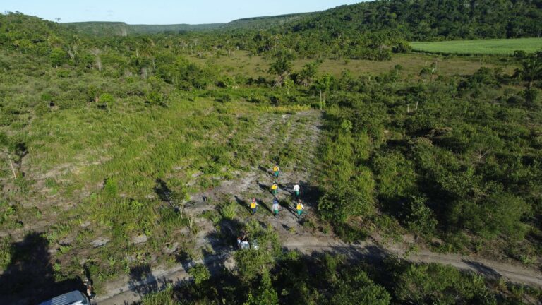
In the project area, 108,820 seedlings of native Atlantic Forest trees were planted. Maintenance was carried out in the area according to the needs of each polygon.