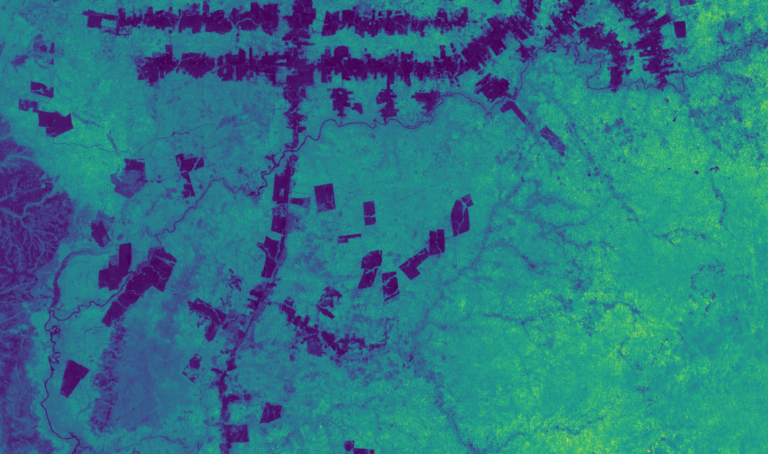
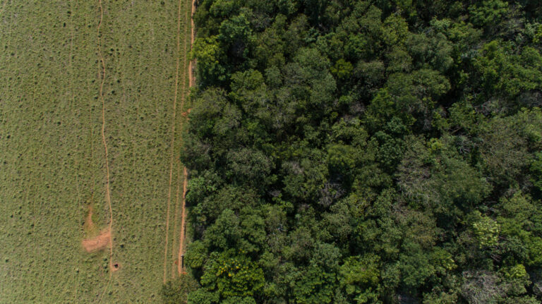
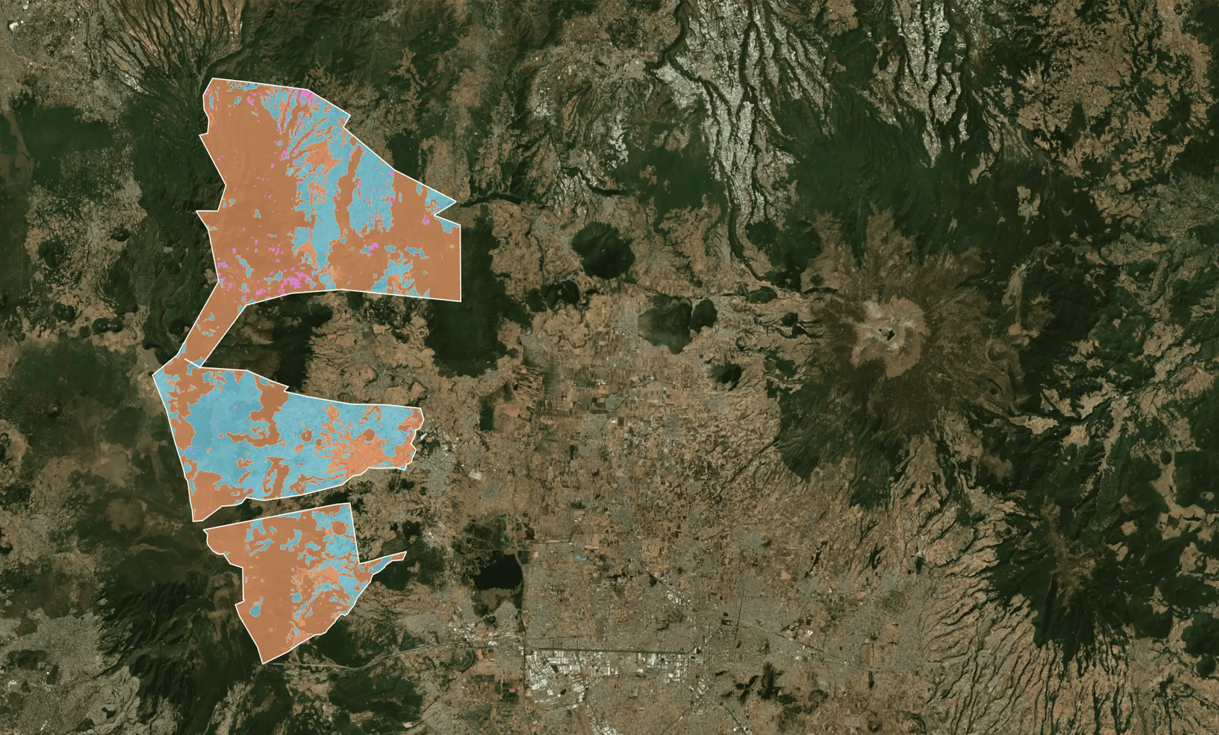
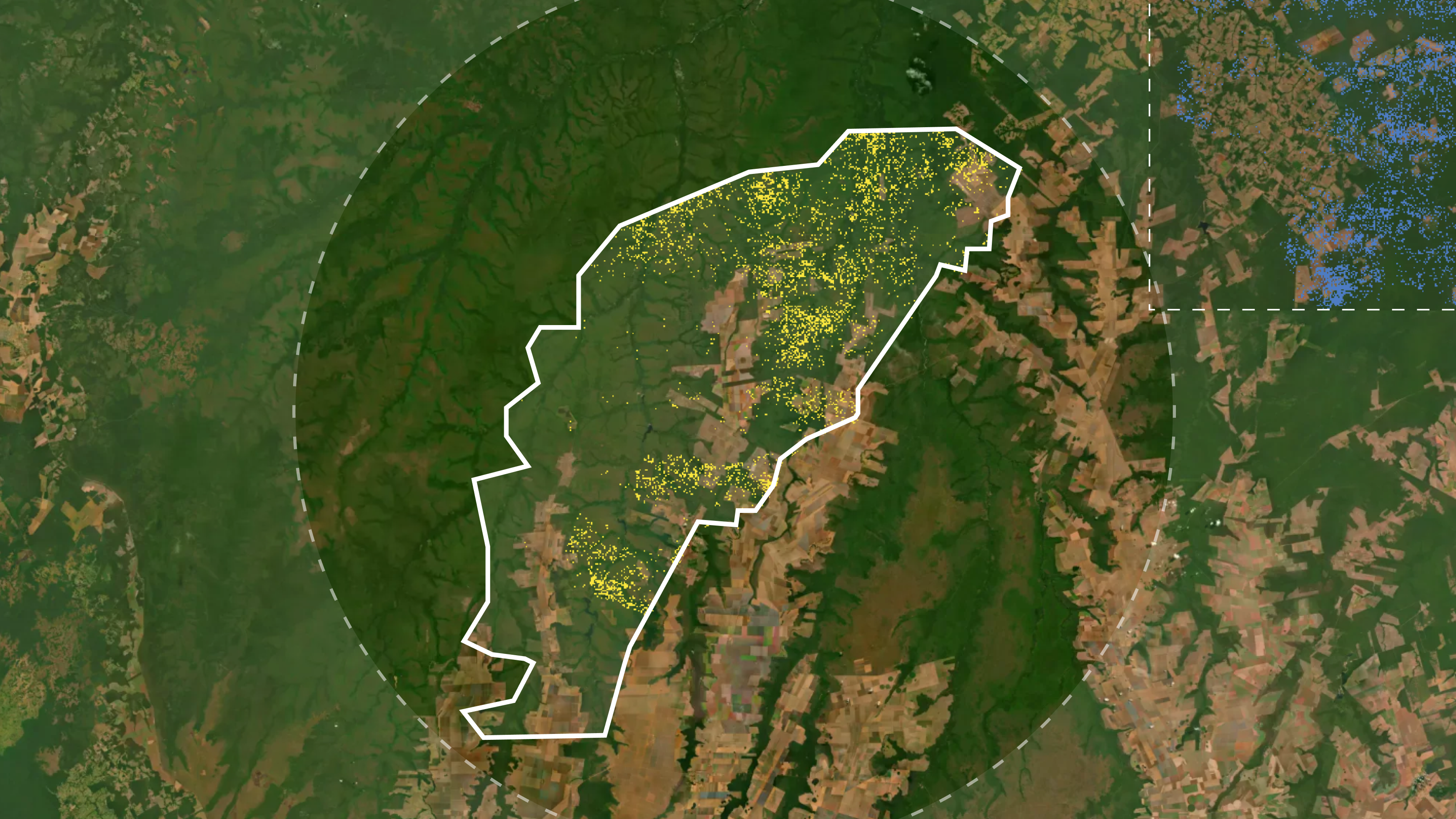
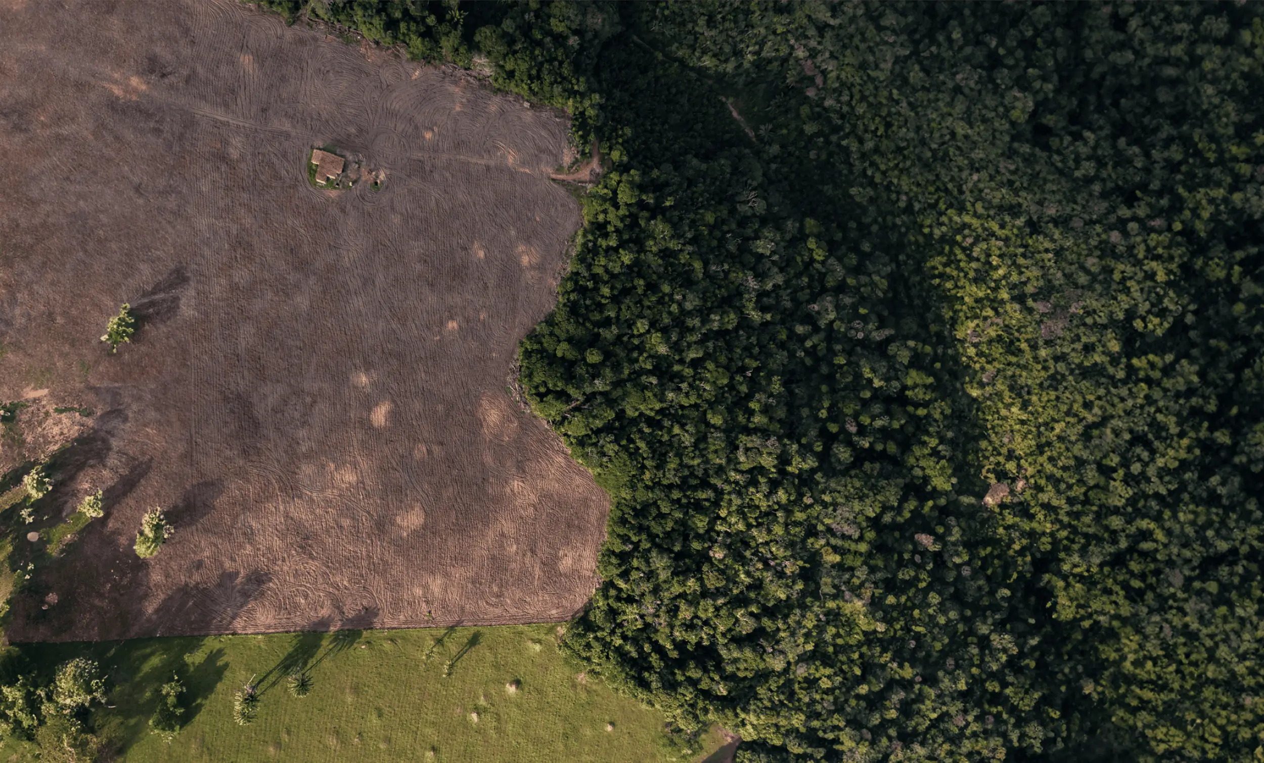
Loading...

Pachama's tech explained.

How earth observation and artificial intelligence can drive the next generation of investments in nature.

copy-of-qingbao-meng-01-igfr7hd4-unsplash-1-scaled-65c9f6bcd6450

Pachama's Proprietary Technology

Our core technologies

At Pachama, we’re developing three core technologies required to modernize the voluntary carbon market and create a future where high-integrity, transparent carbon credits can scale at the speed our planet demands.

01

Estimating carbon

Status Quo: Field crews measure individual trees by hand to inventory carbon stocks over a small sample of a project’s area. This process costs tens to hundreds of thousands of dollars and can take months—or even years.

Pachama’s Approach: We are building machine-learning models that integrate satellite data, field plots, and 3D airborne lidar imaging to map forest carbon over entire regions, and eventually, anywhere in the world. This satellite-based carbon mapping unlocks a more scalable, cost-efficient future for crediting.

See how satellite-based carbon mapping can help scale forest carbon markets.

02

Assessing the baseline

Status Quo: In forest carbon markets, a baseline is a business-as-usual scenario used to estimate expected emissions without the incentive of carbon financing. Today, credit issuance relies on historical data and a complex set of subjective factors to set baselines.

Pachama’s Approach: Using machine learning models, we match each satellite pixel in a project to a ‘control’ pixel outside the project with similar attributes. We then use satellite data to observe forest loss in the control pixels compared to the pixels in the project area.

See how a tech-driven approach to baselines can transform carbon crediting.

03_Pachama_technology_forestcover-min
03

Monitoring forest cover change

Status Quo: Most registries require that projects are monitored only every 7 years. Years could pass without information of a forest fire or illegal deforestation.

Pachama’s Approach: We use high-resolution satellite imagery and cloud-penetrating radar to track losses and gains in forest areas over time, unlocking continuous visibility across an entire forest.

PUTTING IT ALL TOGETHER

Digitizing the
carbon market

04_Pachama_technology_DMRV-ezgif.com-optimize

Since our founding in 2018, we’ve sought to lead the way in Digital Measurement, Reporting, and Verification (DMRV). Our goal is to create a registry-integrated system that provides a modern, intuitive experience for both project developers and buyers through a transparent, simplified crediting process.

Sign up to our newsletter

Stay updated with Pachama’s news and guides, zero spam, promise.